


Will cyclone Biparjoy hit Kutch? See various predictions
The western Indian region of Gujarat is on red alert as a highly severe Cyclone Biparjoy will hit areas of it on Thursday.
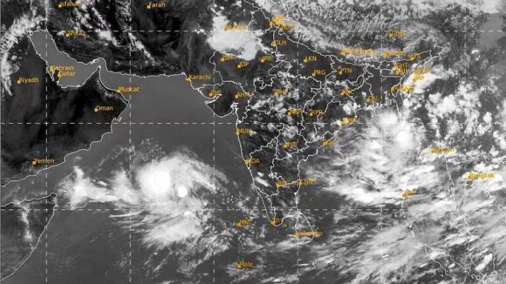
Biparjoy – a storm over the Arabian Sea – is expected to go towards the state’s coastline in the following two days.
Cyclone Biparjoy to hit parts of Gujarat on June 15:
Heavy showers and high tides have been predicted in some coastal districts in the region. People have been told to avoid going to beaches, and fishermen have been urged not to enter the sea.
The Indian Meteorological Department (IMD) confirmed on Monday that the cyclonic hurricane was probably to go northwards till June 14 and then move “north-northeastwards and cross Saurashtra and Kutch and adjoining Pakistan coasts between Mandvi (Gujarat) and Karachi (Pakistan) by noon of June 15”.
It continued that the storm could have a “maximum sustained wind speed of 125 to 135kmph (77 to 84 mph)” and reach 150kmph.
Biparjoy – a catastrophe or mishap in the Bengali language – has strengthened into an “extremely severe cyclonic storm” – the second highest type used by the IMD to categorise tropical cyclones.
Also read: Read why a British girl was shot dead in France
Till Saturday, the storm was predicted to avoid Gujarat and go towards Pakistan’s coastline.
However, India’s climate department has now warned Gujarat authorities and requested them to make preparations to evacuate people if required.
People in coastal regions have been requested to stay indoors when the cyclone is probably to land. The Gujarat state has deployed national and state disaster response units in parts likely impacted by the hurricane.
The storm is predicted to rain in several other states along India’s western and southern shores. The IMD has predicted heavy rains in several regions in Maharashtra, Karnataka, and Goa states in the coming days.