
More in Weather
-


Featured
Himachal Landslide Buries Bus, 15 Dead in Bilaspur
A devastating landslide triggered by heavy rainfall in Himachal Pradesh claimed the lives of at least...
-


Featured
Photos and videos of heavy rain in Kutch over the last 24 hours.
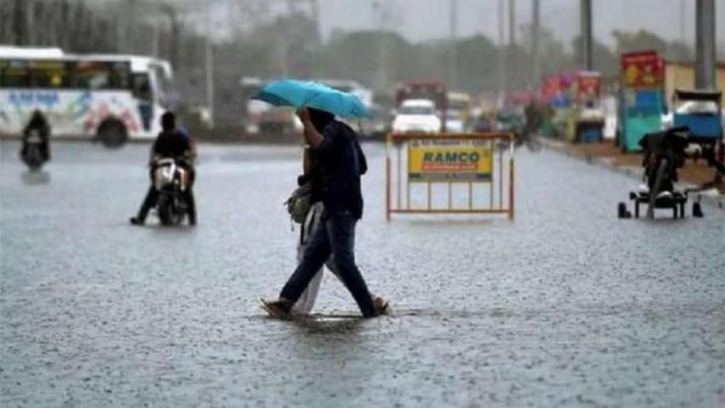
Extremely heavy rain has fallen, with around 15 inches recorded in Kutch. Many roads, schools, and...
-


Weather
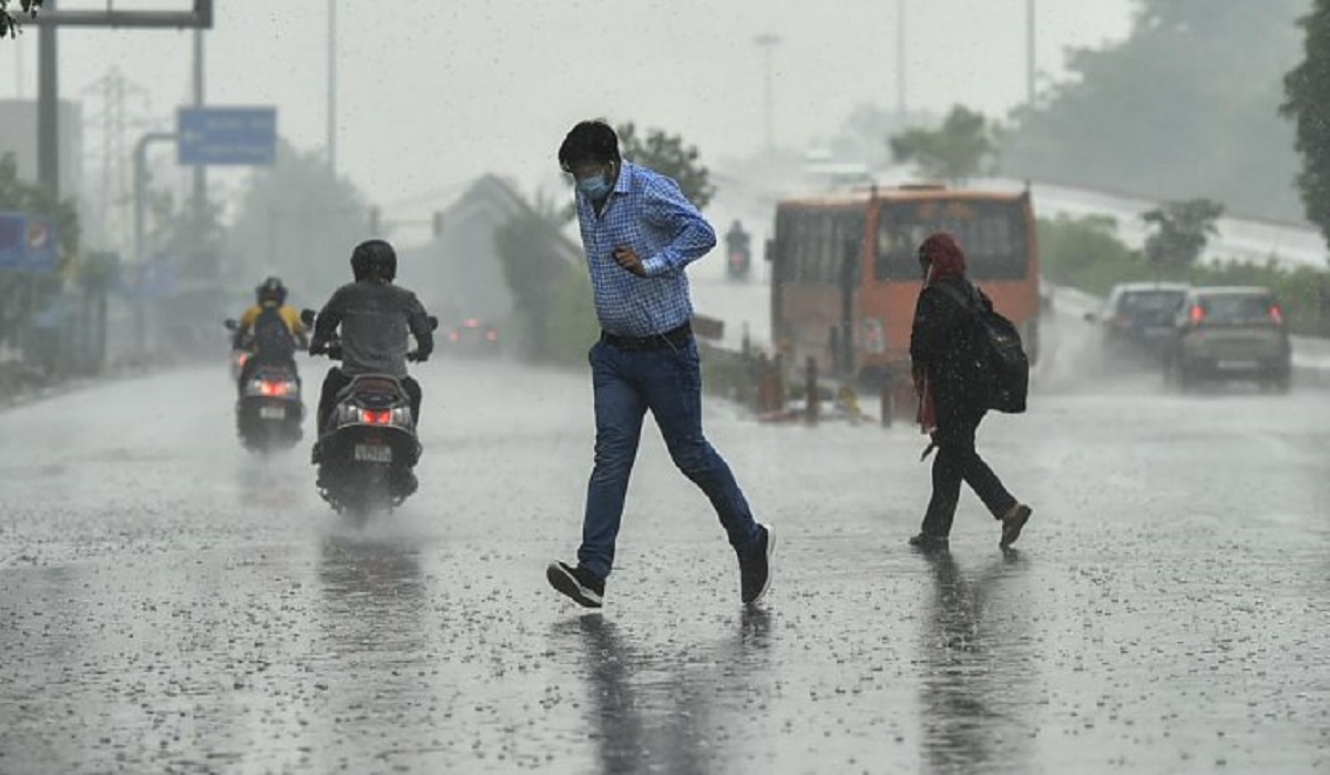
Delhi Braces for Thunderstorms, Orange Alert Issued
Delhi on Orange Alert as Thunderstorms, Gusty Winds Expected; Red Alert Issued for Parts of Himachal...
-


Nation
Himachal on Red Alert: Landslides, Rain Disrupt Life
Himachal, Uttarakhand Paralyzed by Torrential Rains: Red Alert Issued, Schools Closed, Monsoon Toll Rises to 20...
-


International
Greenland Ice Melt Surged 17x Faster Amid Historic May Heatwave
Greenland Ice Melt Surged 17 Times Faster During Historic May Heatwave, Raising Global Alarm In a...


